By Howard Shafer — Scott Valley is an agricultural valley in northern California, about forty miles northwest of Mt. Shasta and just twenty miles south of the Oregon border. Its principle communities are Fort Jones and Etna. Even Google confuses this tranquil, mountain valley with Scotts Valley, a bustling city in the Santa Cruz Mountains a few miles north of Santa Cruz and south of Silicon Valley. Scotts Valley is crowded with mountain ridges, narrow gullies, redwood trees, and rush hour traffic jams. On the other hand, Scott Valley has broad meadows of hay and cattle and a notable absence of any automobiles at all. Its wonderful, traffic-free roads are perfect for bicycling.
I want to tell you about two trips my wife Jacquette and I have taken to the Scott Valley area. On the first trip, we took a two-day road bike tour on a traffic-free loop of spectacular scenery and fearsome climbs from Etna over Carter Meadows Summit and down to Forks of Salmon, then back over Etna Pass to Etna, 103 miles with 9000 feet of climbing. On our second trip, we enjoyed a scenic, easy sixty-mile loop around the perimeter of Scott Valley.
The Fearsome Forks of Salmon Loop Climbs
In the little town of Etna, California (population: 700; elevation: 2940 feet), once called Rough and Ready, City Hall charged us a small fee to camp in the city park and gave us a park restroom key. The park had green grass, cool groves of trees, and grazing deer, but no other campers. The weather was wonderful, and we left the rainfly off our tent. Soon, two stray kittens appeared and wanted to play. That night they were curled asleep against our tent when the sprinklers turned on, and it was like a cloudburst inside. We leaped up, ripped up tent stakes, dragged the tent to dry land, and climbed back into damp sleeping bags while the kittens ran pell-mell through the spray to reach us.
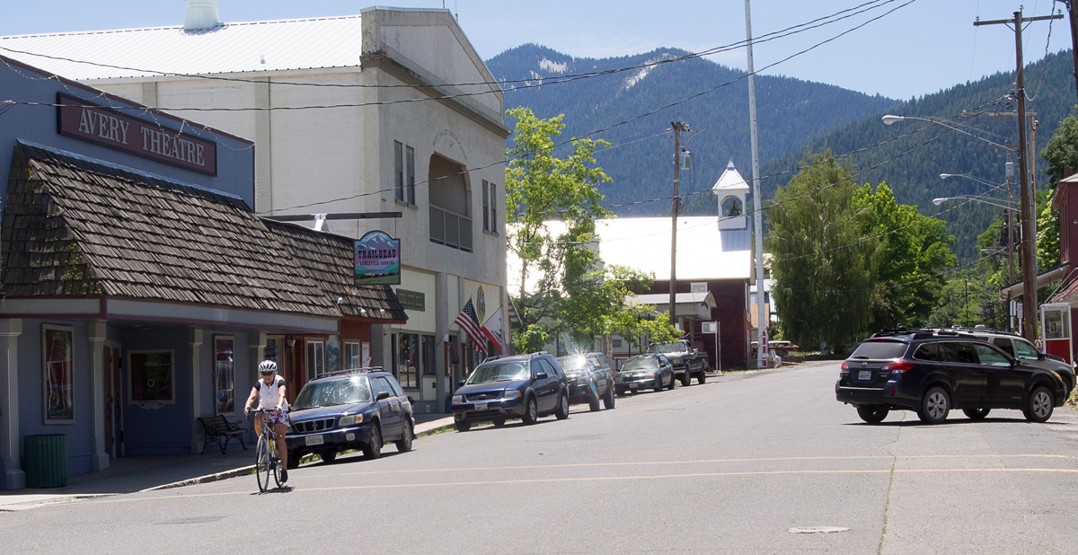
Ah, we thought, now for some blissful sleep. Then a new set of sprinklers turned on, water sprayed our tent again, and our sleeping bags got wetter. Once more, we leaped up, twisted the sprinkler heads away from the tent, climbed into our damp sleeping bags and tried, nervously, to sleep while the kittens snuggled down just outside the entrance.
The next morning a city councilwoman named Delta visited us. “Did you have a nice night?” she asked. We told her. She said she’d make sure sprinklers didn’t come on again. Next, Tom and Ray, the chief of police and the mayor, came by. Tom said he’d keep an eye on our campsite while we cycled, and he’d find the kittens’ owners. Ray welcomed us to Etna.
With protection promised by the Etna City Police Department, we loaded our panniers with food, warm clothes, sleeping bags, tent, et cetera ad nauseum and bicycled south on empty Highway CA3, which follows Scott River south toward the hamlet of Callahan (more about Callahan later).
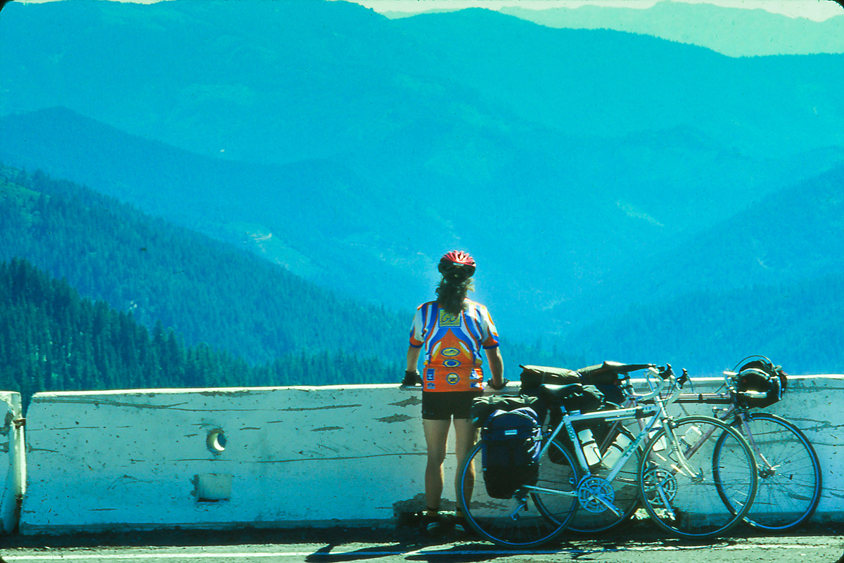
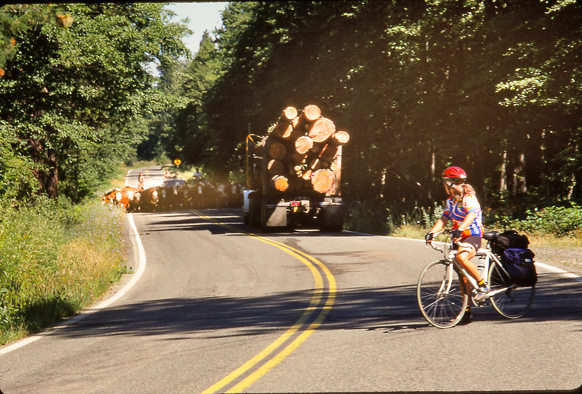
Near Callahan, we tried to turn onto the Callahan-Cecilville Road, but a herd of cattle and cowboys (cowgirls actually) got there before us, and it took awhile to edge past the cattle to where the road became cattle and car free. Then we began the climb toward the 6146 foot high Carter Meadows Summit, gaining more than 3000 feet in ten miles. From the summit, we saw snow banks below us. We enjoyed a magnificent view back toward Callahan and began the descent toward the hamlet called Forks of Salmon, reaching a restaurant and a small cluster of houses called Cecilville in extreme heat, exhausted. Locals sat on the restaurant verandah while cool mist sprayed gently over them. They said it was over 100°F. We ordered pop and ice water and cycled on. Farther down the mountain, the road became one lane wide, snaking along a chasm that dropped to raging white water and deep still pools. No cars, but no shade either. We reached reached Matthew’s Creek Campground around 5 pm. It was deserted except for a trailer filled with yelping dogs. We ignored them, walked down to the river, and skinny-dipped breathlessly in icy water. Then we continued.
Thirty miles and 5000 feet below Carter Meadows Summit we discovered Hotelling Campground. We hadn’t reached Forks of Salmon yet, but after sixty miles it seemed like the place to stop. We set up our tent, strung our sweaty clothes over our bicycles and cooled off in the river. Dinner was last night’s cold spaghetti. It was delicious.
We got up early to miss the heat we’d put up with the first day, ate cold oatmeal and tried to find our gear. My helmet had traveled fifty feet, and something had chewed its chinstrap. Our bicycle gloves lay scattered far and wide, juicy with saliva. Damn deer chewed them for salt! We washed our helmets and gloves in the river before continuing the three miles downstream to Forks of Salmon, just a few old houses where the north fork and the south fork of the Salmon River meet. There we turned east and took Sawyer’s Bar Road along the North Fork back toward Etna. The narrow road rolled upward through pine and fir forests. The roar of the river was never far. The climb was moderate. There were no cars, and fortunately, we had shade.
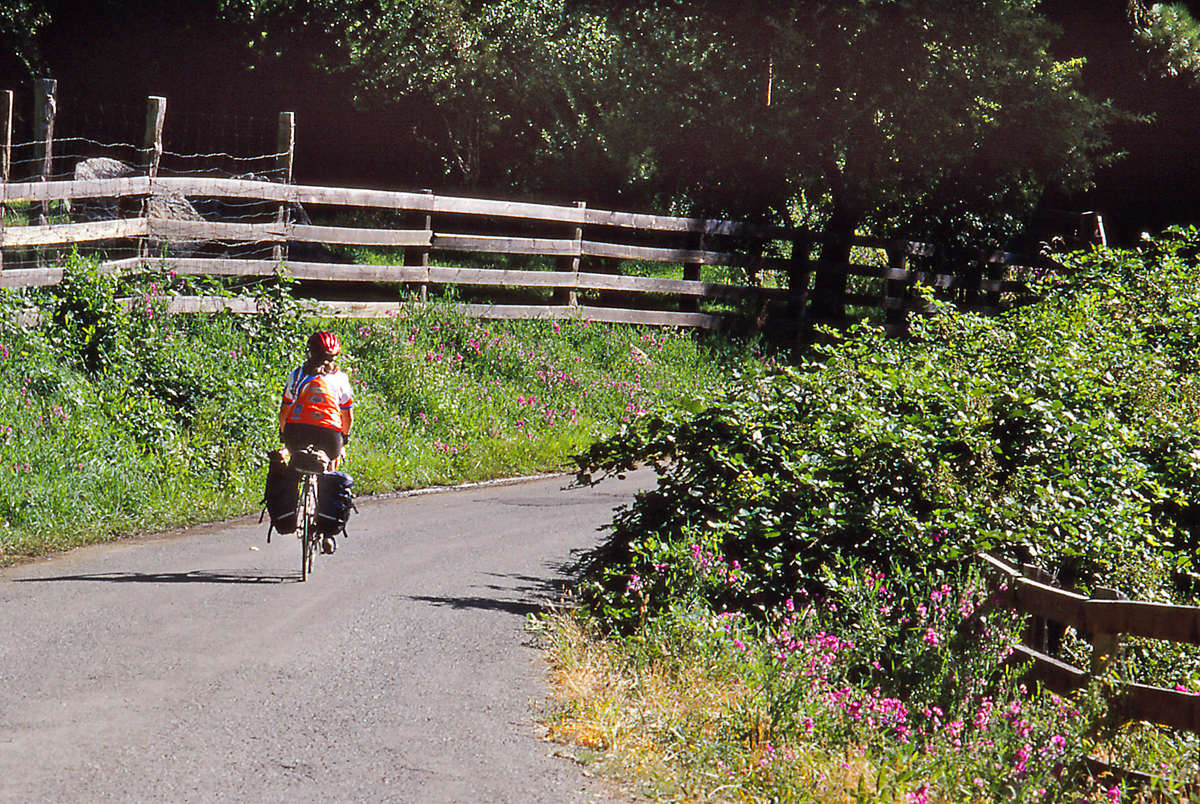
We got to Sawyer’s Bar before noon, a picturesque string of aging houses squeezed along the valley. A little later, we passed the Idlewild Campground. It was 1700 feet above and twenty miles up the road from Forks of Salmon. We still had 3400 feet of climbing before Etna Summit ten miles away. The climbing got hard as the road climbed 2400 feet in four miles. That’s four whole miles with an average grade of 11%! The sun beat down. We dripped sweat. Our legs complained. Our bicycles groaned. We’d been told there was drinkable water in concrete boxes high on the pass. We found them and drank. We soaked our feet in a creek. A bear cub appeared above us. We looked nervously for the mother but never found her. When we reach Etna Summit at 5956 feet elevation, we were exhausted but elated! After that we rode steep downhills with lots of switchbacks. We flew past spectacular scenery but kept our eyes on the road.
It was after 5 pm when we reached Etna. Our first stop was a pharmacy on Main Street with an old-fashioned soda fountain. I downed a huge strawberry malted. Jacquette had an ice cream soda. We showered at the town swimming pool before eating dinner at a Thai restaurant. The food was delicious and the prices reasonable. Returning to the park, we staggered into our sleeping bags. The sprinklers did not come on that night.
Circumnavigating the Gentle Terrain of Scott Valley
For our second visit to Scott Valley, we opted for comfortable beds in Motel Etna. The sun still slumbered beyond the mountains to the east when we said goodbye to our room. It was barely six 6 am, and we were determined to avoid the astonishing 100°F weather predicted again. The air was clear, the dawn sky tinted red, and the fragrance of the clean valley air invigorating. Once more we bicycled south on CA3, which parallels Scott River and runs the full length of the valley. To our right: the Marble Mountain Wilderness of the Siskiyou Mountains and somewhere beyond, the Forks of Salmon. To our left: the fertile fields of Scott Valley. Across the valley, another range of mountains. As we rode south, the two ranges closed in on us, channeling us toward the hamlet called Callahan.
The road was car-free and the valley so quiet it almost hurt our ears. The only sounds were from songbirds and a few red-tailed hawks. The valley lay hazy in mist. We were climbing, but the grade was so gradual, we hardly noticed.
By 7 am we were in Callahan. The dusty, one block long town appeared so deserted it was spooky. The two-story Callahan Ranch Hotel, built in 1854, was boarded up, old paint peeling from its walls. The Wells Fargo Bank building, built to accommodate a nineteenth century gold rush, lay empty. In fact the whole town looked ready to crumble. Perhaps later in the day it would show a little life. It was certainly alive on January 6, 1947, when an African-American with a calfskin wrapped around his shoulders and his body full of bullet holes was found hanging from a telephone pole. That was California’s last known lynching, and it remains unsolved.
We did not idle in Callahan but instead turned north, first onto East Callahan Road and then onto East Side Road following rolling hills along the east edge of the valley. With the sun now up, we could clearly see the Scott River below us on our left, dredged into braided gravel bars during gold rush days, and now only slowly returning to life. On one high bluff with a view of the gorge containing Callahan to the south and all of Scott Valley to the north, we stopped and ate our breakfast burritos purchased in Etna the night before. Then we were off again.
We met a pedestrian as we emerged from some bushes after taking care of morning needs, but except for him, the valley appeared empty. Later, a few farmers appeared with tractors and mowing equipment. They cut geometric patterns through yellow hay fields leaving alternating green and yellow stripes across the valley. Deer nibbled grass next to the road. Jackrabbits bounded across hills. We had never seen so many deer or jackrabbits. When we reached Fort Jones 23 miles to the north, it was already warm.
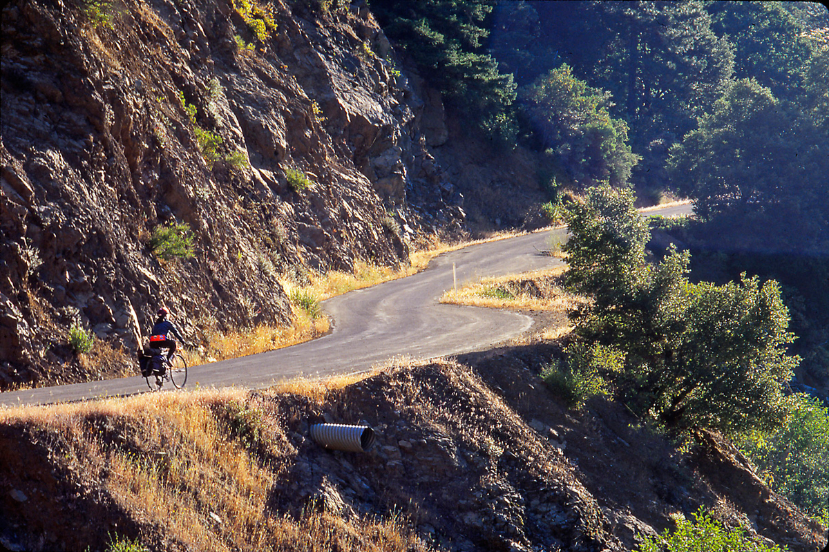
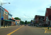
Fort Jones is a sleepy little town of about 800 people at the north end of the valley, a few blocks of homes and businesses clustered along both sides of CA3. The town is a California Historical Landmark and is named after a military base that was once a mile to the south. Soldiers swarmed to its trading post, bar, and brothel. We crossed CA3 and continued west on Scott River Road. Between us and the river to our left, sprinklers mounted on long, pivoting arms irrigated green, circular fields half a mile in diameter. Mountains rose above us on the north, the south, and the west. When we came to a gap in the range to the south, we turned onto the Quartz Valley Road and began climbing.
We might have continued on Scott River Road to Highway CA96 on Klamath River and gone south to Salmon River Road and eventually found ourselves back at Forks of Salmon. This would have turned our one-day excursion into a spectacular but easy multiday riverside tour (until we had to climb the 5000 feet back over Etna Summit). Although friends who have cycled this loop recommend it highly, it would have added at least 100 miles to our ride, and this day we were not prepared for it. You can read about two young women travelling the Klamath River on horseback 100 years ago in the delightful “In the Land of the Grasshopper Song,” by Mary Ellicott Arnold and Mabel Reed (University of Nebraska Press, 1957). They had been commissioned “to teach the Indians,” which they did with enthusiam.
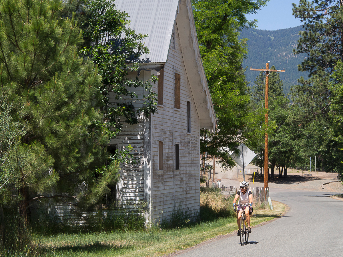
Quartz Valley Road follows Mill Stream upstream, climbing first south and then east through the Quartz Valley Indian Reservation. The climb is easy, and we were hardly aware of the altitude we had gained.
The excursion through Quartz Valley was well worth it. The mountain air grew cool. Wild roses grew in abundance in meadows as green as Ireland. Ponderosa pines dotted the hillsides. On the reservation, we passed an ancient schoolhouse and a few nineteenth century pioneer homes. A fast downhill brought us back into Scott Valley at Greenview, an unincorporated village of about two hundred souls. Their homes, clustered along a few yards of Main Street, consisted of tin-roofed shacks and tired, early twentieth century homes that reminded us of genteel ladies fallen on hard times. When we reached Greenview, the day’s predicted heat hit us full force.
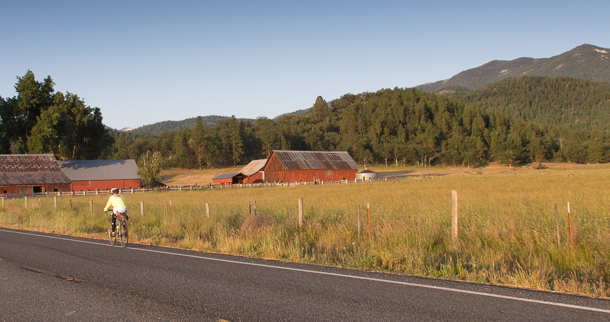
At Greenview we turned onto CA3 again and cycled seven miles back to Etna. The fields shimmered in the 100°F heat, and a few cars zoomed past, but by one in the afternoon we were seated at Bob’s Ranch House a few yards from our motel, I, slurping my giant malted milkshake straight out of its big, metal mixing cup, and Jacquette munching salty sweet potato fries. We had ridden 61 miles and climbed a paltry 1300 feet. If you love climbing, you won’t find it on this ride, but if it’s gorgeous, bucolic scenery you’re after, then don’t miss it.
So you have a choice: Fearsome climbs or gentle valleys. You can have it all out of Scott Valley.
If you go:
Take Interstate 5 to Yreka and then head west on CA3. You’ll come to Fort Jones first and then Etna. Be prepared to maintain your own bicycles. There are no bike shops.
Etna has the most lodging. Etna Motel (530-467-5338) welcomes cyclists. Free camping is available at Etna City Park. Alderbrook Manor B&B has a Hikers’ Hut ($35 per person) as well as regular rooms (530-467-3917). RVers can try the Mountain Village RV Park (530-467-5678). Etna also has several restaurants.
Fort Jones has fewer options. Try lodging or gourmet lunch at The Gifted Horse Lodge (530-468-4438).
Along the Forks of Salmon loop, you can camp at the Matthews Creek Campground near Cecilville, or you can find other, unofficial campsites. You’ll find food at Cecilville’s Salmon River Saloon (530-462-4685).
Links:
Scott Valley Chamber of Commerce: http://www.scottvalley.org/
Visit Siskiyou: http://visitsiskiyou.org/



Having spent a week cycling in this area in October 2018, I totally agree. Best place, so far, that I’ve cycled on roads in the US. As good as Europe. You MUST be totally self-supported. No restaurants with bratwurst at these summits.
The people are all friendly. Even the big pickup trucks gave us roomed and waved.
Paystreak Brewing in Etna is a perfect place for a beer or three after you’ve done the Marble Mtn Century.
Note that the “store” in Cecilville may not be open when you’re there. There’s an honor system cooler with water, fizzy water, cokes, and energy bars, but other than that, there is no water for the 100 miles. You could bring a portable water filter. We were fortunate in that the temps were only in the 70s, and the person with whom I rode, and me, are sort of camels in that we can go a while on little water.
Good tip on Etna Motel too. They do have microwaves and a small refrigerator in each room.
We just scratched the surface of this area on our road bikes. There is gravel and MTB galore as well. I would avoid July and August due to heat and, increasingly, smoke. October was really nice (H 75 L 35), and normally it’s much drier there then the Tacoma area that time of year.
Comments are closed.