Proposal for a Salt Lake City Recreational Cycling Plan
These comments were submitted for the 2015 Salt Lake City Parks, Trails, and Open Space Initiative (Submit Comments) (Click the preceding link to submit your comments).
(Preview Article here)
(Download a better formatted PDF of this proposal: Proposal for a Salt Lake City Recreational Cycling Plan – Comments by Dave Iltis Cycling Utah )
Submitted by Dave Iltis • Cycling Utah • [email protected] • cyclingwest.com • 5-21-2015
Recreational cycling is important for the health and enjoyment of Salt Lake City’s residents. Recreational cyclists become commuter cyclists and vice-versa. Therefore, I am submitting a Salt Lake City Recreational Cycling Plan to further Salt Lake City’s goal of becoming a Great American Cycling City.
The Salt Lake City Parks, Trails, and Open Space Initiative is an exciting process that will hopefully lead to progressive, sustainable, and inclusive outcomes for Salt Lake’s recreation areas. Since the recent Salt Lake City Pedestrian and Bicycle Master Plan only focuses a little on recreational riding – both road, and mountain – and also focuses mostly on paved streets, there is a need for creating a Recreational Cycling Plan for Salt Lake City. This belongs as part of the new initiative. It would complement any recreation aspects in the Bike/Ped Master Plan.
Salt Lake City Recreational Cycling Plan Proposal:
Vision: Salt Lake City will have a comprehensive system for recreational cycling consisting of a network of off-road soft-surfaced trails, on-road routes, and paved pathways and programs for all types of recreational cycling.
(Note: Many other aspects of recreational cycling are included in the Salt Lake City Pedestrian and Bicycle Plan including a recreational routes proposal, and encouragement programs for on-street commuter and recreational cycling. They are not included here since this proposal is for the Trails and Open Space Initiative, but should be included in a broader proposal).
- Trails (Soft Surface)
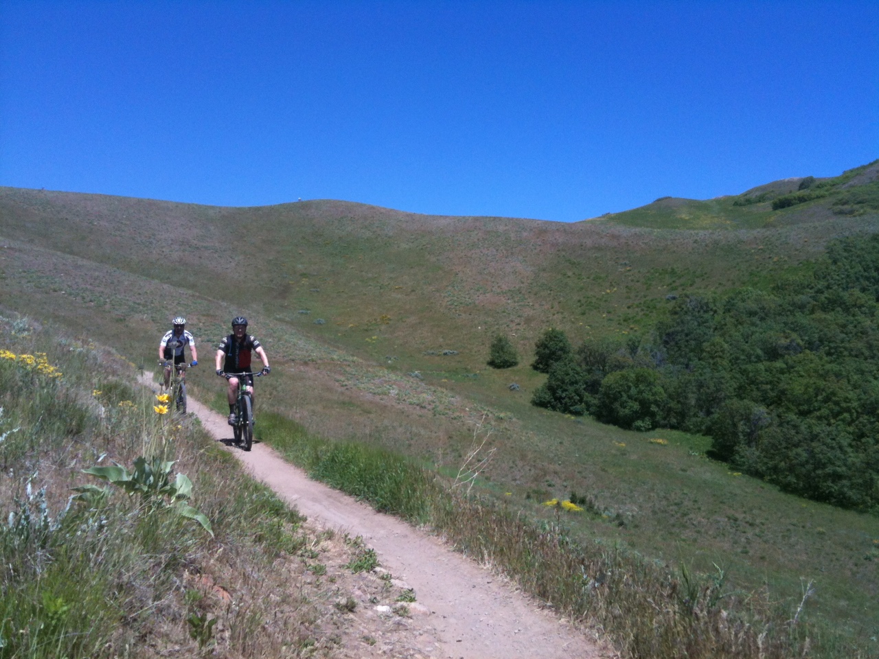
- Salt Lake City needs a Soft-surfaced Trails Master Plan for hiking and mountain biking.
i. Salt Lake City needs a trails system like Corner Canyon in Draper. Additional Trails are needed throughout the Foothills, especially for mountain biking. These could include:
-
- Flow Trails
- Directional trails
- Cross-Country trails.
ii. The system should integrate with North Salt Lake’s trails system as well as the Emigration Canyon Trails system.
iii. These trails are needed especially from Hogle Zoo to Ensign Peak to the border of North Salt Lake.
- Trail amenities needed
i. Trail Heads with trail kiosk and map, parking, etc. are needed at these locations:
-
- City Creek and the Bonneville Shoreline Trail – both sides of the mouth of City Creek.
- Popperton Park
- Hogle Zoo and Bonneville Shoreline Trail
- Research Park
- Near Red Butte Gardens Visitor Center
- Near Concert Venue
- Ensign Peak
- Jewish Community Center
- Terrace Hills Drive
- And more where needed.
ii. Trails Wayfinding Sign System
- This should match what Ogden, Park City, and other systems around Utah have. It should also match Jordan River Parkway’s planned system, and Salt Lake County’s planned system. Salt Lake City is planning signage, but it needs to be consistent with other systems.
iii. Land Purchases of private land and easements within the Foothills should be made to consolidate open space and easements.
iv. Trails Map for Salt Lake City Soft Surfaced trails that shows:
-
- Hiking
- Biking
- Dog friendly trails
- On-Leash and off-leash areas
- Hiker and Biker and Dog Walker education for conflict avoidance
- West Side Trails
i. Can any soft surface trails be created quickly and easily on the west side of Salt Lake City?
-
- 7200 W area
- NW Corridor by the airport and I-80 Frontage Road
- Antelope Island Trail
- Salt Lake City Public Utilities Watershed Area Trails
i. This may be out of the purview area of the Open Space Initiative, but attention to a mountain bike and hiking trails system in the watershed area is needed.
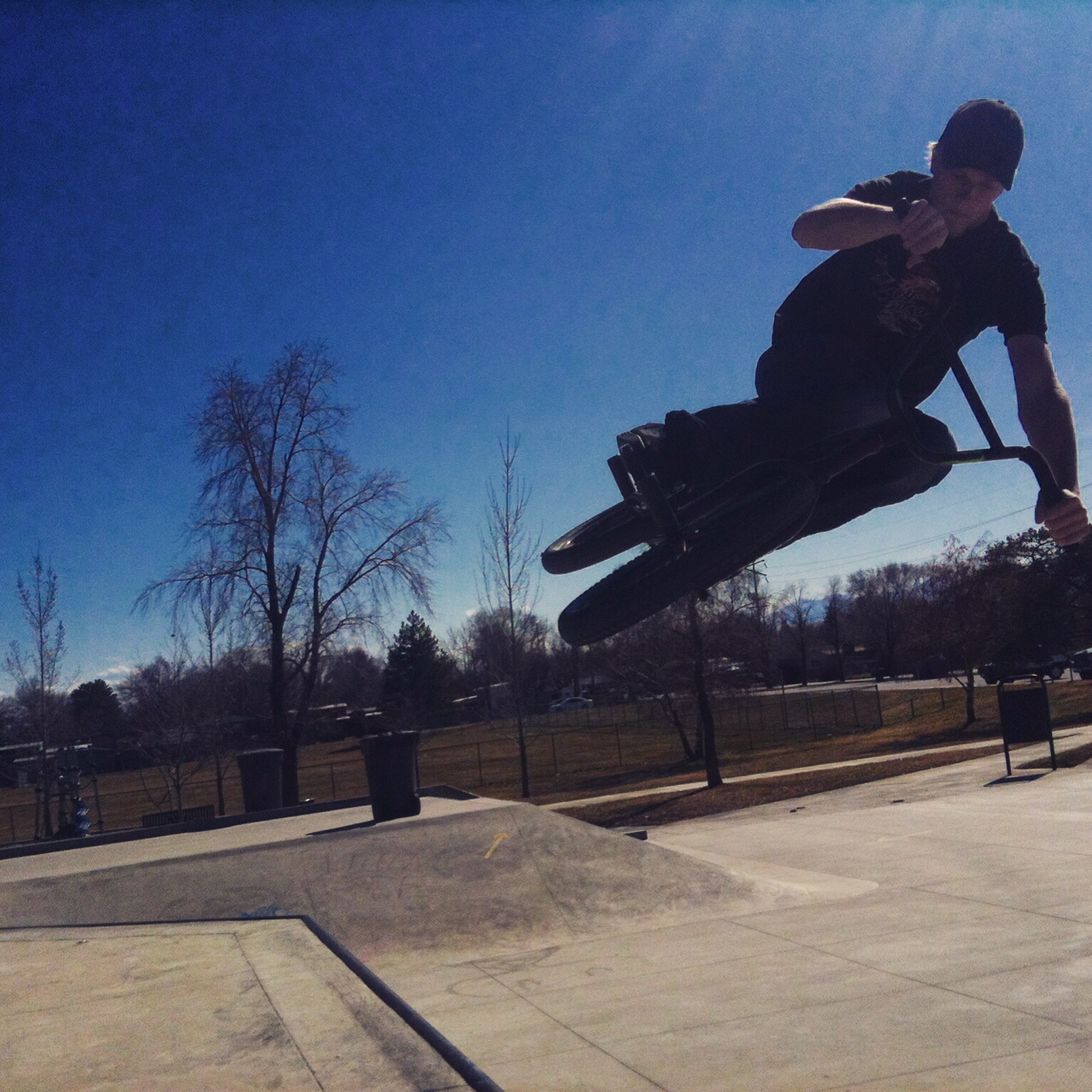
- Bike Parks – Salt Lake City needs a plan for Bike Parks within the city.
- Existing Parks
i. I –Street Jumps
-
- I-Street Jumps Park needs a strategic plan. This should include:
- Installation of the funded pavilion.
- Water for maintenance.
- Kiosk and information on usage, safety, etc.
- Beginner and intermediate areas, lines, and jumps so that the park is accessible to all and builds the community.
- I-Street Jumps Park needs a strategic plan. This should include:
ii. 900 S.
iii. Parley’s Nature Park
iv. Skateparks
v. A map or website needs to be created provide information.
- Salt Lake City Cycle Park – A proposed facility for Cycling of all types (fashioned after the Draper Cycle Park)
i. The Salt Lake City Cycle Park could be located at either of the repurposed golf courses or at another location. The west side of Salt Lake City would be a great choice. It would have as components:
-
- BMX Course – a regulation BMX race facility and training area for kids.
- Pump track
- Jump/Freeride Area
- Skills areas (obstacles) for adults and kids.
- Cyclocross Course and practice area. Cyclocross is a type of bicycle racing and training that is done on smoother trails. Courses are typically 1 to 1.5 miles long with terrain changes, lots of cornering, not much climbing, and some obstacles (both natural and movable barriers). Cyclocross is typically done from August to January. Weekday and weekend races could be part of this for 1-2 days a week. Depending on the location, the course could also work for a Short Track Cross Country mountain biking course (STXC). These typically contain more hills, but are also shorter.
- The course should be designed with the goal of attracting local and national caliber races.
- Dedicated Criterium Course. An approximately 1 mile paved loop for bicycle racing. The course should be approximately 24 feet wide. It could be created on streets surrounding the Cycle Park, and dedicated for use 1-2 days a week from March – October.
- Kids Traffic Training Area to teach kids about riding on streets. This would be a paved area.
- Velodrome – Salt Lake City used to be one of the two or three main locations for track racing in the world. The Salt Palace was originally a bicycle track. Creating an outdoor paved velodrome would be a great addition for Salt Lake City.
-
- Bicycle Polo Park Area
i. Salt Lake City has a thriving Bicycle Polo community. A dedicated area is needed in one of our parks. The area could be used for other activities too. Generally courts are paved. The size is usually between 120′ X 60′ and 155′ X 80′. Great spots would be at Liberty Park or Pioneer Park. https://www.facebook.com/groups/beehivebikepolo/
- Hard Surface Trails (Pathways) Plan for Pathways such as the Jordan River Parkway and PRATT. While some of this plan is included in the Salt Lake City Pedestrian and Bicycle Plan, Salt Lake City needs a master plan for additional paved pathways for bicycling and pedestrian use.
- Jordan River Parkway Trail (JRT)
i. Completion of the trail should be a goal.
ii. Wayfinding needs to be implemented that coordinates with the SLC soft surface trails, Utah state, and the SLC streets wayfinding programs.
iii. Goat Head (puncturevine) control needs much, much more attention than it is currently receiving.
-
- Goat Heads are a Salt Lake County Noxious weed and as such, a control strategy needs to be implemented by Salt Lake’s Parks Department.
- Trail landscaping needs to be improved. Current practices are not adequate to prevent establishment of Goat Heads.
- The JRT should not be completed until a removal program is firmly in place.
-
- PRATT Trail
i. Finish the PRATT Trail and connect it with the West Valley Cross-Town Trail.
-
- Other planned SLC Trails including the McClelland Canal Trail, Surplus Canal Trail, and more.
- Wasatch Loop Trail
i. This is a proposed 240-mile paved trail system that would include the Jordan River Parkway and potentially the PRATT trail or other cross valley trail. See page 21: http://slco.org/recreation/planning/PDFdocs/Parleys_Canyon_Trail1.pdf
-
- Mountain View Corridor Trail – planning needs to take place to ensure proper access for this trail.
i. Additionally, bicycle access should be maintained with bike lanes on the shoulders. And, the MVC should be downgraded from a freeway to an arterial.
- Salt Lake City Bike Share (GreenBike)
- Recreational use of GreenBikes need to be encouraged along with use for transportation. As such, stations are needed in areas for low key recreational riding at the following locations:
i. Liberty Park
ii. Sugarhouse Park
iii. Jordan River Parkway
iv. PRATT Trail
- Events and Bicycle Racing Program
- There is a need to foster bicycle racing on the streets of Salt Lake City. Because of the way permitting has changed, there are far fewer bicycle races in Salt Lake City than there used to be. This also applies to small running and walking events. In 2015, we lost 2 long time bike races because of police costs that were too high. (www.utahcycling.com )
- Mountain Bike Racing, and in particular High School Mountain Biking should be encouraged and supported. (www.UtahMtb.org )
- General Cycling Events in Salt Lake City should be encouraged. Permitting and costs should be kept to a minimum.
- Recreational Bike Routes Proposal for on road recreational routes such as City Creek, Emigration Canyon, and the Great Salt Lake Marina. (contact Dave Iltis • [email protected] for a copy). The Rec Bike Routes proposal has been previously submitted to Salt Lake City Transportation, Salt Lake County, and UDOT.
- Bike Facilities need to be constructed and placed in an environmentally sensitive manner that encourages enjoyment of the natural surroundings.

References:
Wasatch Loop Trail: http://slco.org/recreation/planning/PDFdocs/Parleys_Canyon_Trail1.pdf
GreenBike: http://www.greenbike.com
PRATT Trail: http://parleystrail.org
Draper Cycle Park: http://www.draper.ut.us/index.aspx?NID=427
Corner Canyon Trails: http://www.cornercanyontrails.com/
IMBA Guides to building bike parks and singletrack: https://www.imba.com/catalog/print-media
Jordan River Parkway: http://jordanrivercommission.com/
Beehive Bike Polo: https://www.facebook.com/groups/beehivebikepolo/
Salt Lake City Bicycle and Pedestrian Master Plan Draft: http://www.walkbikeslc.com/
Salt Lake City Parks, Trails, and Open Space Intiative: http://ouroutdoorsslc.com/
Salt Lake City Watershed Boundaries Map: http://www.slcdocs.com/utilities/watershed/images/trailhead%20overview2.pdf
Salt Lake City Watershed: http://www.slcgov.com/utilities/public-utilities-watershed
Utah High School Cycling League: High School Mountain Bike Racing in Utah: http://utahmtb.org
Utah Cycling Association (bicycle road racing): http://www.utahcycling.com/
Recreational Bike Routes Proposal (contact Dave Iltis • [email protected] for a copy)








[…] Please see: https://www.cyclingwest.com/advocacy/a-proposal-for-a-salt-lake-city-recreational-cycling-plan/ […]
Comments are closed.