VIRGIN, Utah (January 4, 2023) — In June 2020, The Nature Conservancy joined forces with the Virgin River Land Preservation Association, the U.S. Fish and Wildlife Service and others to purchase the 419-acre the newly created Sheep Bridge Nature Preserve. Now that this property is preserved, it will be managed as one of the “best of the best” portions of the Virgin River ecosystem. In addition to protecting the critical fish and wildlife habitat, The Nature Conservancy’s purchase of the Sheep Bridge Nature Preserve will ensure the property supports public access, including designated hiking and biking trails, to promote visitation and responsible recreation.
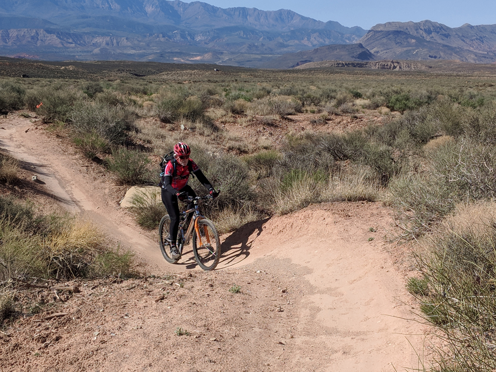
The Nature Conservancy, new owner of the Sheep Bridge Nature Preserve, has an important announcement for mountain bikers who wish to park and access the JEM Trail: access and day use parking for all portions of the JEM Trail is only permitted from designated BLM trailheads. The BLM has established three trailheads that access the JEM and other Hurricane Cliffs trails. The closest is the “Sheep Bridge Trailhead,” located 2 miles south of the preserve, halfway between SR 9 and SR 59. (GPS coordinates: 37.179596054414134, -113.2385920345773). This trailhead has ample parking, restrooms, and trail maps. Riders can also access the system at the Hurricane Cliff Trail head located at SR 59 and Sheep bridge Rd, or at the Upper JEM Trailhead.
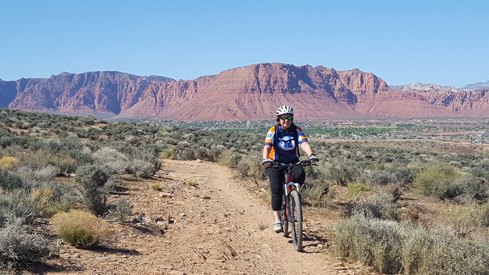
The JEM Trail has been in existence since the mid-90s. It was created without landowner approvals. Many riders have assumed that the entire system was located on public lands. However, the Lower JEM access and a good portion of the Lower JEM Trail are located on private property. The Nature Conservancy is pleased to be able to leave access open to the portion of the JEM Trail that crosses through its Sheep Bridge Nature Preserve. However, the JEM Trail is now designated as a directional trail. Riders will travel downhill on the current trail, and return via the newly constructed Carne Asada trail. This new trail is also directional for mountain biking and provides a loop to return riders back to the BLM network.
This access point change is part of The Nature Conservancy’s creation of a new walking trail system at the Sheep Bridge Nature preserve that is designed to help everyone enjoy the area’s natural wonders while also minimizing impacts to sensitive and biologically rich plant and animal habitat along the river corridor.
“We’re looking at spring 2023 for a finalization of our new visitor trails and signage at the Sheep Bridge Nature Preserve,” says Elaine York, The Nature Conservancy’s West Desert Regional Director. “We’re thrilled to be working with many local partners and neighbors to ensure this special place remains vibrant and healthy for both nature and people.”
For nearly a decade, The Nature Conservancy has been focused on the Virgin River, working with partners to restore streamside habitat and explore agricultural efficiency projects that will benefit farmers and ranchers while keeping water instream for fish and birds.
For questions or maps regarding the JEM trail, visit: https://www.blm.gov/visit/jem-trail.






This is false. There is public parking along Sheep’s Bridge Road on BOTH sides south and north of the bridge per Washington County. The Nature Conservancy does NOT dictate for what purpose public parking along SBR is used for.
I don’t see the Nature Conservancy’s ownership or plans being good for mountain bikers who have used this area for 20-30 years. Over the weekend, I parked at the bottom on the side of the road and there were multiple people who were confused about where the trail starts, where to park, etc.
They’ve already eliminated the parking area at the bottom/north/Virgin River end of the trail, there is no directional signage for where public parking is available, and it seems that things will only get worse. Their prerogative I guess, but still a shame and a loss.
Comments are closed.