Riding the canals in . . . Arizona? Well, yes. Metropolitan Phoenix, to be exact. It may not be Amsterdam or Venice, but metropolitan Phoenix has, as one can well imagine, a rather extensive canal system.
My daughter and her husband, Marielle and Scott, moved to Mesa about 13 years ago, much to my dismay. Not only would they live so far away that a weekend visit was out of the question, but I was pretty certain the cycling there would be less than interesting. After all, it is nothing but a huge urban grid baking in the middle of a desert.
And I was right. As is my practice when traveling, I took my bike with me when we made our first couple of trips down. What I discovered is that the streets of the entire urban area resemble the electric wiring of a heating blanket. Finding a winding street here just doesn’t happen, unless dipping into a planned development and winding through residential homes counts. Frankly, my first few rides were downright boring. I would right straight till I made a 90 degree turn right or left.
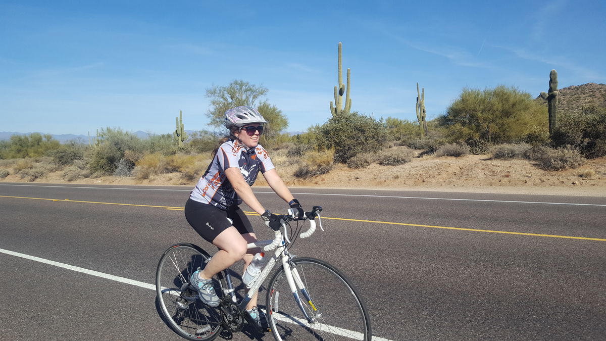
After a few visits, I finally discovered a saving grace: Usery Pass. From where Marielle lived, I would ride straight east on Ray, make a 90 degree left turn onto Ellsworth and then ride straight north till finally, finally, the road began to curve. Yes, I said curve, and then it winds, and I use that turn generously, uphill (the only uphill riding I have found in this truly flat land) for a couple of miles to the top of Usery Pass. From there, the road winds down the other side of Usery Pass for three miles to North Bush Highway. This highway then runs alongside the Rio Salado (Salt River) and behind the foothills separating the Rio Salado river valley from metropolitan Phoenix for several miles till it turns and, after a short climb, dumps you back into the urban grid.
Well, that was a somewhat lengthy description of what has been the only really fun and interesting bike route in my decade of cycling in Phoenix. It became the staple of all my serious rides when visiting in Phoenix.
That is, until last week. We traveled to Phoenix for a week to help Marielle and Scoot move from Gilbert to their new home in Mesa. So my first day there, I made it my goal to ride the 13 miles from their old home to see their new one. As I checked out my Maps App, lo and behold, I saw there was a canal route (the Eastern Canal) that appeared to have a paved trail along its bank for the much of this distance. So exploring a canal ride become my objective as I made my trek to Marielle’s new home.
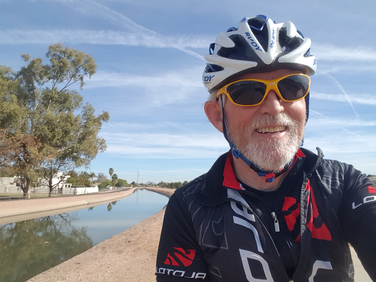
I made my way to a point on the canal and found there was indeed a nice paved path to follow. I rolled alongside the canal for 4 miles before the pavement ended. From there, it was back to the grid to get to my destination. (Though a day later, making that same ride, I found I could ride on the unpaved trail for a couple more miles as it consisted of a very smooth, hard-packed dirt surface amenable to road bikes.)
But I had noticed when I first jumped on the canal path, that the pavement also proceeded in the opposite direction. So a couple of days later, I made it my goal to ride that direction to see how long the payment lasted. To my surprise, it continued uninterrupted for six miles. Combined with the first four miles I had previously ridden, this made for a full ten miles of paved canal trail. A person doing an out and back would have 20 miles at his or her disposal for either a casual or vigorous ride.
Canals do not exactly wind much, and there are certainly no undulating hills for variety. But unlike riding on streets, here you generally get to see a lot of back yards, and I can vouch that backyards are much more interesting for sight-seeing than front yards. Plus, there is a fair amount of waterfowl to observe, and I have seen numerous large turtles lounging on the concrete banks. (Yes, these are concrete canals.) In addition to the more common mallards that we saw, we also came upon a great blue heron perched on the bank.
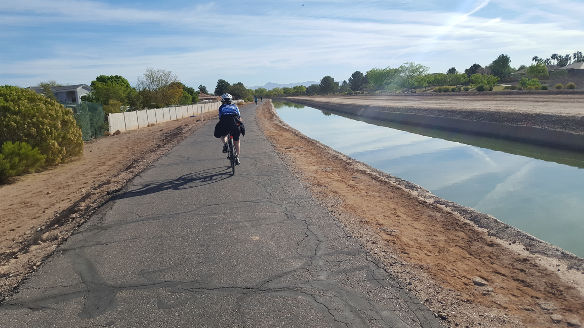
All that, coupled with no vehicles to negotiate, except when crossing the streets of the grid, made for a very relaxing and enjoyable ride. It was a ride that was especially pleasing for my wife who, like many, feels nervous pedaling a bike around in traffic.
Later in the week, we explored a small section of the Consolidated Canal which is near Marielle’s new home, and while driving saw another major recreational trail along a third canal. So, for my next couple of trips down, I have a new riding objective: Exploring the canal trails of Phoenix. I was impressed with how they have taken advantage of this municipal utility to also provide a recreation area for cyclists and pedestrians. I am hoping to find the pavement available for road cyclists to be even more plentiful, and to map out a canal loop that can incorporate many more miles of paved riding.
I may even use a mountain bike while exploring the canals. From what I observed, there are many additional available miles of unpaved trail open and available for recreation.
So, finally, I have something besides my Usery Pass loop to be excited about when riding in the Phoenix area, some new routes to discover and explore in the land of sun. It may not seem like much, compared to my home here in the Salt Lake valley. But for Phoenix, it is something to get excited about.

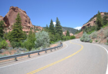


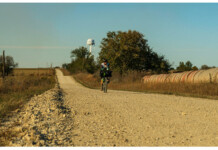


There is an entire network of pathways along canals and creeks in the Phoenix metro area. For example, the Arizona Canal pathway runs continuously from 24th St in central Phoenix west to connect with the Cave Creek Wash path and the Skunk Creek path system in the northwest and west Valley. That’s about a half-century out and back from the Arizona Biltmore to near State Farm Stadium, and most of it isn’t straight or boring.
David, it sounds like I live close to Marielle… I’m about a half mile down Pecos Road from the Consolidated Canal. Anyway, I can recommend a few other places to enjoy cycling around here, where you get away from the grid. First is Ahwatukee, which is the portion of Phoenix that’s south of South Mountain. There are some good foothills there, and more scenery. There are more intense hills north of Mesa, in Fountain Hills, and if you want a long ride from there, you can ride out of town to the north, go up the gentle nine mile hill on Dynamite Road, and go further north to Cave Creek and over to Bartlett Lake. Or, back to downtown Phoenix, you can ride up the winding seven mile road to the TV towers atop South Mountain. And over near Usery Pass, the neighborhood of Las Sendas has some nice hills and scenery too.
I’m from Wisconsin and have a hybrid bike with medium sized tires, and am new to the problems of prickly plants. I’ll now avoid the Eastern Canal after three flat tires due to a certain type of cactus debris. The trails are part paved and part crushed stone, but full of tough thorns. The Consolidated Canal is close by and is 100% more enjoyable. It’s fully paved and mostly free of debris.
Comments are closed.