Fire, Water and the Solar Eclipse: Bike Touring North Central Idaho.
By: Louis Melini
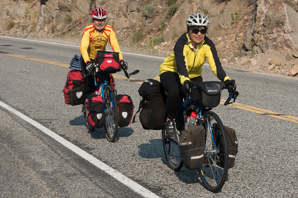
Ketchum, Stanley, Salmon, & McCall are some of the better-known towns that encompass North Central Idaho. I have written about Idaho bike travels (Mountain Bike Hot Springs tour) and Idaho tours have been ridden and reported in Cycling Utah/Cycling West recently by Tom Diegel and Roger Crandall. The residents of Idaho should be very familiar with people traveling on bikes and for good reason as the riding and scenery is great. There are also enough towns and services to keep traveling cyclists supplied and lodged.
Planning
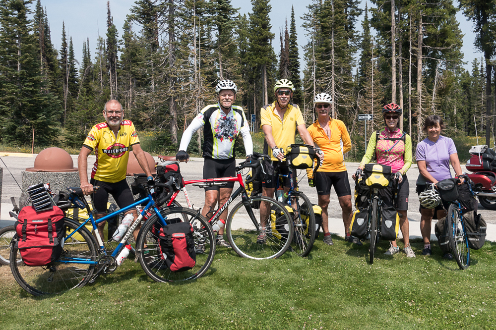
For this 13-day road trip, Julie and I joined 4 others, her first extended tour with a group. Katie Slack and Rusty Gardner were the trip planners doing another remarkable job of planning. I fondly remember the Yellowstone trip I did with them 3 years ago. Robin Perkins was the group photographer and Kevin Earl led the way with his strong riding capability. Kevin rode 67-miles (with loaded panniers) by noon to secure the last 2 sites at a forest service first come/first serve campground.
The solar eclipse is coming! The solar eclipse is coming! Katie and Rusty wisely changed the dates of the trip early in their planning to avoid the potential of crowded roads and campgrounds. The locals weren’t sure what to expect, but they knew there was going to be a lot of people. One campground owner had a request as far away as Japan. With everyone coming to that part of Idaho for the eclipse on the 21st of August, we had relatively calm roads during our travels from the 5th to the 17th.
To start the tour we drove to the Elk Mt. RV resort, about 4.5 miles west of Stanley. Ribs were the special at the RV park restaurant. Safely parking a vehicle at the start of a tour is always a challenge. The management allowed us to store the 2 vehicles there though the fee was $10/vehicle/day for a total of $260 for the 2 vehicles.
Stanley – Challis
The first morning of our ride gave us a surprise. We were used to the 70°+ morning temperatures in Salt Lake City but in Stanley, we awoke to a very chilly 32°. Wearing my full rain suit to stay warm, I had numb fingers and headed into Stanley to the breakfast café. The weather warmed after breakfast, but I didn’t take off my long sleeved jersey until well after lunch. On this first day of riding we followed route 75 downstream along the Salmon River throughout the day for a relatively relaxed 62 miles. Challis was the destination, a small town with 2 grocery stores & a couple of restaurants within walking distance of the campground.
Challis – Salmon
The morning of our 2nd day was thankfully warmer than the first. Above us, the skies were hazy from the fires to the north. We heard rumors of evacuation warnings further along our planned route, but that was the extent of the fire concerns. We were unsure about the level of smoke we would hit. It turned out that our ride north on route 93 out of Challis was clear of smoke except for some lingering haze above us. We again rode downstream along the Salmon River through scenic canyons to the Century 2 campground and RV park in Salmon. The small town of Salmon is very nice. It seems to be trying to become an outdoor recreation town; it just hasn’t turned the corner yet. Following rivers downstream was a great way to start the tour as our average miles/hour was 13.6 and 12.9 for the first 2 days of riding even with the mild to moderate headwinds we had most of the time.
Salmon – Darby
Day 3 was our challenging days as we had 76 miles to ride including over 3500 feet of elevation gain over Chief Joseph pass, most of it during the final 6 miles of the steady 26-miles of uphill. The road had a number of switchbacks, making the ride to the top tolerable. With 50 miles of downhill to Darby we thought the afternoon would be easy. A very strong headwind during the final 30 miles cooked us. Forming a pace-line during a tour is not always a great idea, but it was essential on this day. We rolled into Darby, Montana 6 hours and 45 minutes (of riding time) from our morning start.
Darby – Lolo
Upon leaving Darby the next morning, the group rode Hwy 93 and the adjoining bike trail to Hamilton. Julie & I however, took an 8-mile detour on a side road, 5-miles of it being packed gravel that was devoid of traffic and very scenic. This side road took us to the bike trail south of Hamilton where a second breakfast was calling.
After that breakfast we hopped back on the bike trail on the sidewalks of Hamilton then on the separate bike path as we exited town. The bike path is only about 30 feet or so adjacent to Hwy 93 but a pleasant alternate to the highway shoulder on our ride to Lolo, Montana. Lolo has changed from my first trip through town as part of my cross-country ride in 1975. I remember it as a small town. It just so happened to be the 4th of July. Somehow I ended up riding at the back of the parade with my loaded touring bike.
Lolo – Lochsa Lodge
Our destination for the night was about 3 miles west of Lolo, Montana; the Lolo Dance Center RV Park. The Lolo Peak fire was centered near this area but one would not know that with the skies rather clear compared to previous days. However, about 10 days or so after our stay at this campground, route 12 was shut down and parts of the area were evacuated due to the fire. Within the confines of the campground I had my only flat tire, and the only one of the group during the tour.
Day 5 was a short 43-mile day, but it started with a climb over Lolo summit followed by a long downhill. We ended the day at Lochsa Lodge crossing or following a multitude of streams and rivers. We camped at a Forest Service campground next to the Lodge. The Lodge is isolated from any services but for us it provided food and a place to buy a shower.
Lochsa Lodge – Lowell
Kevin Earl received the “great effort” award on day 6 for his herculean ride to Goose Creek Campground in the very, very small town of Lowell. Julie and I averaged 15.6 mph for this mostly downhill 68-mile day. Kevin, however, reached the campsite and reserved the final 2 sites more than 1.5 hours ahead of us. He chased off a multitude of cars that asked if he was staying or leaving. The campsite is popular as it has a nice “beach” along the river that our group took advantage of.
Lowell – Grangeville
Day 7 was 19 miles shorter than day 6 but it took us 11 minutes longer on this day. We had a long steady 5-6% grade to ride followed by a series of short hills to tackle before arriving in Grangeville. Julie and I pack riding clothes for 4 days so this being the 4th day of riding since our riding clothing was last cleaned, we were excited to have a full service campground to do some needed laundry.
Grangeville – Riggins
Riggins was our destination for day 8. We rode into town with the skies cleared of smoke. We were able to bypass nearly 20 miles of hwy 95 by detouring on Old Hwy 95, a road without trucks and very low traffic in general though with scenery changing to very dry vegetation. This was one stretch we did not ride along a river. We climbed up and then had a spectacular view of the area before racing down the switchbacks to reconnect with the real Hwy 95 and another branch of the Salmon River and a host of rapids. A few miles before we entered town we had to take a break. Eagle eyed Kevin had spotted blackberry bushes, specifically one large patch near the road but on a rather steep slope. Julie and I ate handful after handful for quite some time though I was the one with scratches up and down my arms and legs. The berries were huge!
Riggins – McCall
Rain! Whoopee it rained today! The rain was a bit annoying but refreshing. By noon it stopped and so did we to eat at Subway before the final push to McCall and the dreaded Route 55. Until now, the quality of the road shoulder that we rode on was OK throughout our ride, some areas better than others but we usually had a tolerable width of shoulder to ride on. In addition, traffic had been extremely friendly throughout our ride. Route 55 changed that as we endured the 10 plus miles into McCall on Route 55, as there are no alternative side roads. Julie and I had no problems but one or 2 in our group had a couple of cars squeeze past on a section of road without a shoulder and serious erosion of the road itself.
McCall Rest Day
McCall was a layover day for us. Half of the group stayed in a timeshare condo that Robin was able to acquire while Katie, Julie and I decided to keep the reservations that were made for Ponderosa State Park, a true gem of a state park. If you ever go to McCall make Ponderosa your destination, but be sure to make reservations well in advance. Julie and I did a 3-hour hike within the confines of the park coming within 10 feet or so of a grazing deer that seemed not to care that we were walking past. I also got to enjoy watching a deer graze in our campsite from the comfort of my camp chair. I have mixed feelings about the town of McCall. I was given a chainring bolt that managed to come loose and fall off Julie’s bike at one bike rental place. The owner was friendly and didn’t seem to be rushed. On the other hand, I went to 2 outdoor stores, one being a bike shop, in search of a canister of fuel. Both sent me to May’s Hardware that turned out to be the name of the owner of the Ace Hardware branch in McCall. The first 3 employees I asked didn’t have a clue as to what I was asking. The 4th employee knew what a backpacking stove was and the required canister fuel but said they didn’t sell it. I mentioned that it could be a problem as outdoor oriented stores were sending customers to them in search of fuel.
McCall – Crouch
Riding out of McCall was much more pleasant as we spent 18 miles on side roads and trails south of town. At this point, traffic was lighter and we rode into the small town of Cascade for lunch and where I was able to purchase a fuel canister at the True Value hardware store from a knowledgeable sales clerk. Leaving town, the group stayed on 55 but Julie and I left 55 for on an 8-mile side road, half of it being dirt with many sections of washboard. It was slow but also nice to have a short respite from traffic on this 80-mile day. We followed the Payette River for most of the afternoon ending in Crouch, a town in need of a quality campground.
Crouch – Bonneville Campground
Our final full day of riding and camping was only 45 miles following the south fork of the Payette River to another Forest Service campground. This campsite, as opposed to the Lowell forest service campground, had several open first come/first served, (non-reservable) campsites. The campsite we picked was large enough for our group to spread out the 5 tents. The campground was noted for hot springs that provided us a soothing and relaxing bath. It was a nice, relaxing day.
Bonneville Campground – Stanley
Our tour of North Central Idaho was over on the 13th day with a mere 36 miles to ride back to Stanley. This was not as easy as it sounds as the day started with a nearly 3000-foot elevation gain up and over Banner Summit. After a brief R & R at the summit we glided the rest of the way to Stanley aided by a 1200-foot descent.
Overview
If you like rivers, this is the trip for you as we followed rivers nearly every day of our travels. We rode along 4 major rivers, the Salmon, Lochsa, Clearwater, and Payette, and their related forks. In addition we rode along several other creeks and streams, apparently too small to call a river.
We were a bit apprehensive due to the forest fires but fortunately the fires were not a factor in our travels. We did see multiple areas of burnt forest and grasslands during our ride. The only active flames we saw were large grassland fires on the drive up to Stanley.
The riding route was generally very good. There was an adequate amount of shoulder for the great majority of the route. Our initial concerns of no shoulders and lots trucks pulling trailers with rafts turned out to not be a factor. Traffic was very friendly though there were few instances of unfriendly driving reported by the group, mostly during the final few miles to McCall. The locals were very accommodating to us. We rode approximately 662 miles over 13 days and had 4 major summits to cross. It is a ride that I would consider doing again.
